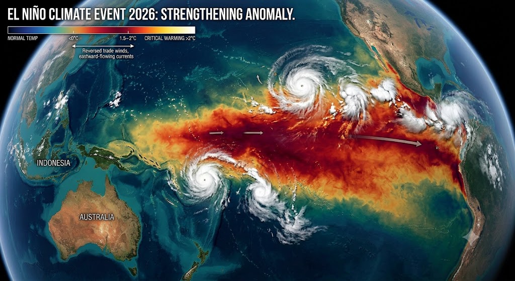
The World Meteorological Organization (WMO) has officially confirmed the development of an El Niño event in the tropical Pacific, warning that it is forecast to intensify rapidly into a “strong” climate event between July and September 2026.
UN officials and climate scientists are urging governments to prepare immediately, as this third-highest category classification means a significantly elevated risk of extreme weather, catastrophic rainfall shifts, and dangerous heatwaves globally.
The Science Behind the 2026 Surge
El Niño is a naturally occurring climate pattern characterized by the warming of sea surface temperatures in the central and eastern equatorial Pacific Ocean. However, the speed and scale of the 2026 transition have caught the attention of global monitoring bodies:
- Subsurface Heat Reservoirs: Surface anomalies are being driven by intensely warm subsurface conditions across the tropical Pacific, with temperatures reaching exceeding $6^\circ\text{C}$ above average deep below the surface.
- Breaching the $2^\circ\text{C}$ Threshold: Leading global climate centers report remarkable alignment across predictive models, showing that seasonal average sea-surface temperature anomalies are expected to exceed $2^\circ\text{C}$ in key reference zones this summer.
- The Climate Change Amplifier: WMO scientists emphasize that while climate change does not directly cause or increase the frequency of El Niño, it acts as an amplifier. A warmer ocean and atmosphere provide vastly more energy and moisture, making the subsequent heatwaves, marine heatwaves, and torrential downpours significantly more severe.
“The science is clear: El Niño is arriving on our doorstep… and will pour fuel on the fire of a warming world. Impacts will hit even harder, travel even farther, and cross borders with devastating speed.”
— António Guterres, UN Secretary-General
Geographic Breakdown of Expected Impacts
Because El Niño radically alters global wind, pressure, and moisture patterns, the effects will be starkly split between extreme drought and severe flooding depending on the region:
| Region | Expected Weather Shift | Primary Risks & Impacts |
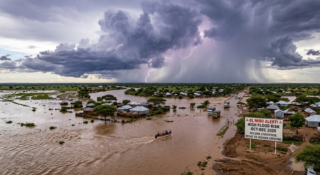
| Greater Horn of Africa | Boreal summer drought, shifting to later deluge | Severe threat to the critical June–September crop season in northern zones; heightened flood risk in southern zones later in the cycle. |
| South & Southeast Asia | Suppressed monsoons & high heat | Below-average monsoon rainfall threatens major agricultural output across India and neighboring nations. |
| Central America & Caribbean | Drier, warmer conditions | Accelerating drought, crop strain, and severe domestic water supply shortages. |
| Central/Eastern Pacific | Elevated water temperatures | Fuels intense hurricane formation in the Pacific, though it conversely hinders Atlantic hurricane development. |
| Southern U.S. & South America | Increased atmospheric moisture | Higher probabilities of unseasonal, torrential rainfall and widespread flash flooding. |
The Economic and Humanitarian Timeline
The global economy is still feeling the ripples of the powerful 2023–2024 El Niño, which fundamentally contributed to 2024 shattering records as the hottest year in human history. Forecasters warn that while this new cycle will likely peak between November 2026 and February 2027, the most intense atmospheric temperature spikes and economic shocks typically lag behind the initial ocean warming.
The UN is rapidly expanding multi-hazard early warning support to safeguard global supply chains, municipal power grids, public health networks, and vulnerable agricultural sectors before these predictable hazards escalate into full-scale humanitarian crises.
Never Miss a Story: Join Our Newsletter