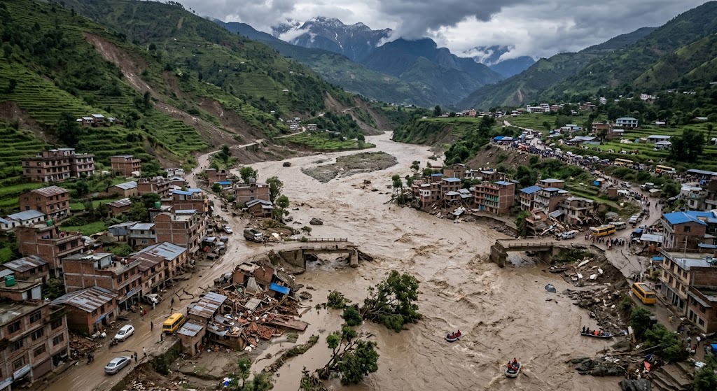
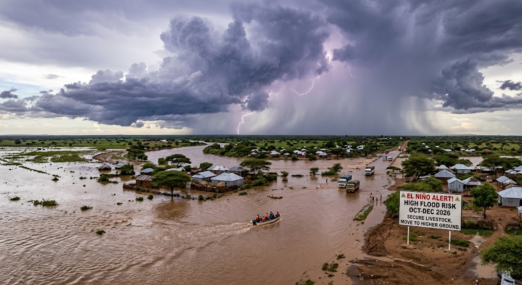
The Kenya Meteorological Department (KMD) has issued a national weather alert warning of an 81% probability of a “very strong” El Niño event developing ahead of the October-November-December (OND) short rains season, with a 97% chance that conditions will persist into early 2027.
While global models indicate significant ocean warming in the Pacific, local meteorologists emphasize that heavy rainfall in East Africa will depend on how El Niño interacts with the Indian Ocean Dipole (IOD). With a positive IOD phase likely to form by August, the strongest rainfall signals across Kenya are projected for October and November.
High-Risk Zones & Projected Impacts
KMD notes that while a strong El Niño increases the likelihood of torrential downpours, a disaster only occurs when extreme weather meets poor drainage, land degradation, and unmanaged exposure.
| Region / Zone | Primary Risk Factors | Key Hazards |
| River Basins (Tana River, Garissa) | Dam spillovers, river bank overflow | Displaced communities, submerged farmlands |
| Highlands (Murang’a, West Pokot, Elgeyo Marakwet, Nakuru) | Soil saturation on steep slopes | Landslides, mudslides, destroyed homes |
| Transport Corridors (Nairobi-Garissa, Garissa-Lamu, Isiolo-Marsabit) | Flash floods across dry riverbeds (laghas) | Cut-off supply chains, washed-out bridges |
| Urban Centers (Nairobi, Mombasa) | Blocked drainage networks, informal housing | Inundated roads, sewer overflows, property damage |
Comprehensive Disaster Preparedness & Safety Guide
With a three-month window before the main onset in October, both households and local authorities can take direct steps to reduce vulnerability.
1.Inspect & Clear Drainage Systems:Immediate Action (August – September).
Ensure gutters, downspouts, and stormwater channels around your property are cleared of debris, plastic waste, and silt. Unclogged channels reduce water pooling around building foundations.
2.Secure Roofs and Vulnerable Structures:Pre-Rain Repairs.
Inspect roofs for loose iron sheets or leaks. Prune large tree branches hanging over structures, as heavy winds and waterlogged soils can cause whole trees or limbs to collapse.
3.Prepare Household Emergency Supplies:Before Mid-September.
Assemble a quick-grab emergency kit including clean drinking water, non-perishable food, flashlights, extra batteries, essential medications, dry clothing, and copies of personal documents sealed in waterproof bags.
4.Establish Evacuation & Communication Plans:High-Risk & Low-Lying Areas.
If you live in a known flood-prone basin or on a steep slope subject to landslides, identify higher ground nearby and agree on meeting points with family members. Keep emergency numbers (KRC 1199, local county disaster units) saved.
5.Practice Severe Weather Safety During Rains:October – December Active Phase.
Never walk, swim, or drive through moving floodwaters. As little as 15 cm (6 inches) of fast-moving water can sweep a person off their feet, and 60 cm (2 feet) can float most vehicles. Avoid touching fallen power lines or standing near metallic poles during thunderstorms.
Health Alert: Prolonged flooding significantly increases the risk of waterborne diseases (such as cholera) and vector-borne illnesses (like malaria and Rift Valley Fever). Boiling drinking water, using mosquito nets, and avoiding contact with stagnant floodwaters are essential health safeguards.
Never Miss a Story: Join Our Newsletter