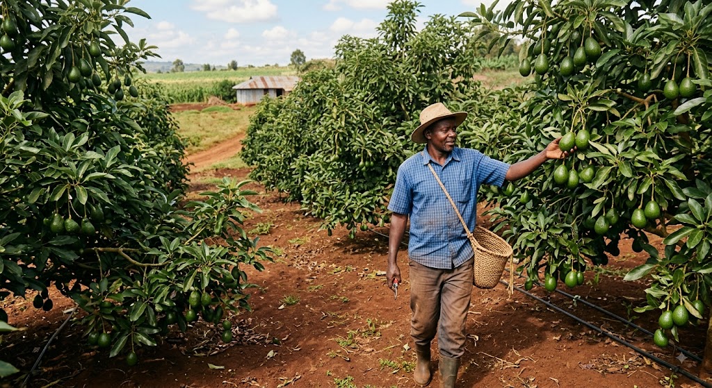

For generations across Kenya’s agricultural heartlands, crop management has been defined by back-breaking labor. Small-scale farmers have routinely spent hours traversing uneven terrain under a punishing sun, carrying heavy knapsack sprayers to protect their harvests from pests and disease.
Today, that grueling routine is being replaced by an innovation high above the fields: agricultural drones capable of spraying an entire acre in just seven minutes. Experts say this shift is not only accelerating operational speed but fundamentally rewriting the economics of farming across the nation.
Speed and Precision: The Seven-Minute Transformation
Speaking during the 24th episode of Co-operative Bank’s Youth Forum—an initiative focused on leveraging smart technology to reduce agricultural production costs—drone service provider Alex Mugane highlighted efficiency as the ultimate game-changer for modern growers.
“We spray one acre in seven minutes. If you give me a five-acre farm, I am done with your field in 45 minutes maximum,” Mugane explained.
Beyond saving time, the logistics of aerial application offer a stark contrast to manual methods. Fitted with 30-liter to 50-liter payload tanks, a single drone can cover between three and five acres in a single trip. The targeted flight paths also ensure uniform coverage, drastically reducing chemical wastage and minimizing a farmer’s direct exposure to hazardous pesticides.
Beyond Spraying: Flying Data Hubs for Precision Farming
While rapid spraying delivers immediate labor relief, the broader power of agricultural drones lies in precision data analytics. Modern unmanned aerial vehicles (UAVs) serve as flying diagnostics tools, enabling farmers to identify and address crop health issues long before symptoms become visible to the human eye.
Using Normalized Difference Vegetation Index (NDVI) and RGB imaging, drones measure plant chlorophyll levels to gauge real-time health. Artificial intelligence (AI) algorithms then process the visual data to flag stressed crops, detect early disease outbreaks, and pinpoint soil nutrient deficiencies.
Furthermore, aerial mapping assists growers in long-term farm planning:
- Water and Resource Management: Monitoring soil moisture levels and evaluating irrigation efficiency.
- Yield Forecasting: Tracking plant counts and performance over time.
- Infrastructure Design: Surveying topography to identify optimal locations for capital investments such as water retention dams and drainage systems.
Affordability and the Power of Cooperatives
While advanced technology often carries a high price tag, targeted drone services are increasingly accessible to smallholder communities. Standard crop spraying costs roughly KSh 1,000 per acre, while comprehensive high-resolution mapping and crop diagnostics range from KSh 2,000 to KSh 10,000 per acre, depending on farm size and survey requirements.
To maximize these cost benefits, Mugane urged smallholder farmers to embrace collective action:
“The technology is particularly suited to farmer groups and cooperatives. Members should pool resources and access drone services collectively rather than attempting to make heavy individual investments.”
A New Era for Agricultural Extension Services
The integration of aerial intelligence is also redefining the role of agricultural advisory support. Digital Agriculture Expert Janet Kariuki observed that digital assessments are systematically replacing slow, physical field inspections.
“Without technology, extension officers had to physically walk through entire farms, whether it was 10 acres or more,” Kariuki noted. “With modern technology, farmers and advisors can get a complete, accurate picture of the field in a matter of minutes.”
As climate volatility and rising input costs pressure global food supplies, Kenya’s adoption of smart farming tools—from AI diagnostics to seven-minute drone spraying—is proving that precision technology is no longer a luxury for the few, but a vital pathway to sustainable, profitable agriculture for all.
Never Miss a Story: Join Our Newsletter